


.jpg)
.jpg)


ICICI Bank Introduces Use of Satellite Data to Power Credit Assessment of Farmers
CIOReviewIndia Team | Tuesday, 25 August 2020, 07:45 IST
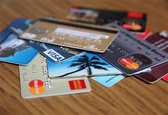 Today, ICICI Bank announced the usage of satellite data-imagery from Earth observation satellites, for assessing credit worthiness of the customers which belong to the farming sector. ICICI Bank becomes the first bank in India to do so. Globally, the use of satellite data for measuring an array of parameters which are related to the land, irrigation and crop patterns is done by a fewer number of banks. These banks apply a combination of the technology with demographic and financial parameters for making expeditious lending decisions for farmers. Using this technology, farmers get their existing credit in enhancement of their eligibility, and the farmers introduced to credit for the first time will get better access to credit. In addition, the land verification is completed without any contact and with the help of satellite data, assessments of credit get completed in just a few days, even before the 15 days of industry practice.
ICICI Bank is using satellite data for the last few months in 500+ villages of Maharashtra, Madhya Pradesh and Gujarat, and it plans for scaling up to 63,000 villages.
ICICI Bank’s initiative is emerging at a time during which people are staying indoors and avoiding travel due to the rise of COVID-19 pandemic. Using satellite data, the bank is getting quick and technically accurate analysis of lands, crops and irrigation patterns from the remotest locations. It demolishes the need of a customer or bank officials to visit the land physically. ICICI Bank offers farmers the level of advantage for reliable data without any need of traveling, or spending in operations or logistics.
The Executive Director of ICICI Bank, stated, “ICICI Bank has a legacy of pioneering innovations in technology to create propositions that provide increased convenience to customers. We have created new paradigms in the financial services industry by taking the lead in introducing path-breaking innovations including firsts like internet banking in 1998, mobile banking (2008), Tab banking (2012), 24x7 Touch Banking branches (2012), Software Robotics (2016) and Blockchain deployment (2016).
We are bringing forth yet another futuristic technology of using satellite data and analysis to provide key inputs for credit assessments for lending to farmers. Earlier, one had to visit remote locations to manually assess a host of parameters on the land location, irrigation levels and crop quality patterns to forecast future revenues of the farmers. Now, imagery from earth observation satellite gives us ground-breaking ability to track many information across large areas in a contactless and highly reliable manner. This, combined with demographic and financial details, provides strong information on the land asset of the farmers. We believe that usage of this technology will enhance accessibility to credit as new-to-credit farmers will have easy access to formal credit, as well as farmers with existing credit lines will be able to securely expand their eligibility. With encouraging response to our pilot project in over 500 villages, we will shortly cover over 63,000 villages in the country for lending with this technology.”
ICICI Bank has come in partnership with agri-fintech companies, specializing in harnessing space technology and weather information for commercial usage. Working closely with these companies for building reports with 40+ parameters for determining whether a farmer is credit-worthy or not through deep study of lands, irrigations and crop patterns, ICICI Bank analyses the same using algorithms for analysing images that are available from satellites placed around the planet. In addition, ICICI Bank has worked for scoring models for creating indices at district level, village level and for individual lands in order to provide an estimate of the past and future agriculture income. The timing of the harvest and source of income is the main factor for a credit assessment.
The satellite data used by the ICICI Bank includes the areas of Rainfall and temperature data of past years, soil moisture levels in past years, surface water availability, trends in crop sowing including crop name, tentative sowing & harvesting weeks, crop health and yields, agriculture land location details including latitude, longitude and boundary of the land and nearby locations of warehouses and mandis.
The innovative technology is predicted to aid farmers who are already customers of the ICICI Bank and the potential customers for availing KCC (Kisan Credit Card) loans. KCC attributed one-third to the Bank’s rural loan portfolio of Rs 571.77 billion in the quarter ended June 30, 2020.
CIO Viewpoint
Making Informed Financing Decision and Reducing...
By Abhishek Sharma, Chief Digital Officer, L&T Financial Services

Financial Services Sector Progresses Towards...
By Ravi Kethana, Chief Platform Officer, CAMS
Making Financial Services Industry Digital-first
By Dhaval Pandya, Corporate CIO, Piramal Enterprises Limited
CXO Insights

Unveiling FinTech Trends for 2024: Letting the...
By Sameer Danave, Senior Director Marketing, MSys Technologies

The Role of Big Data in Market Forecasting
By GaganSingla, MD, Blinkx

Budget 2023: Measures that will help the IT...